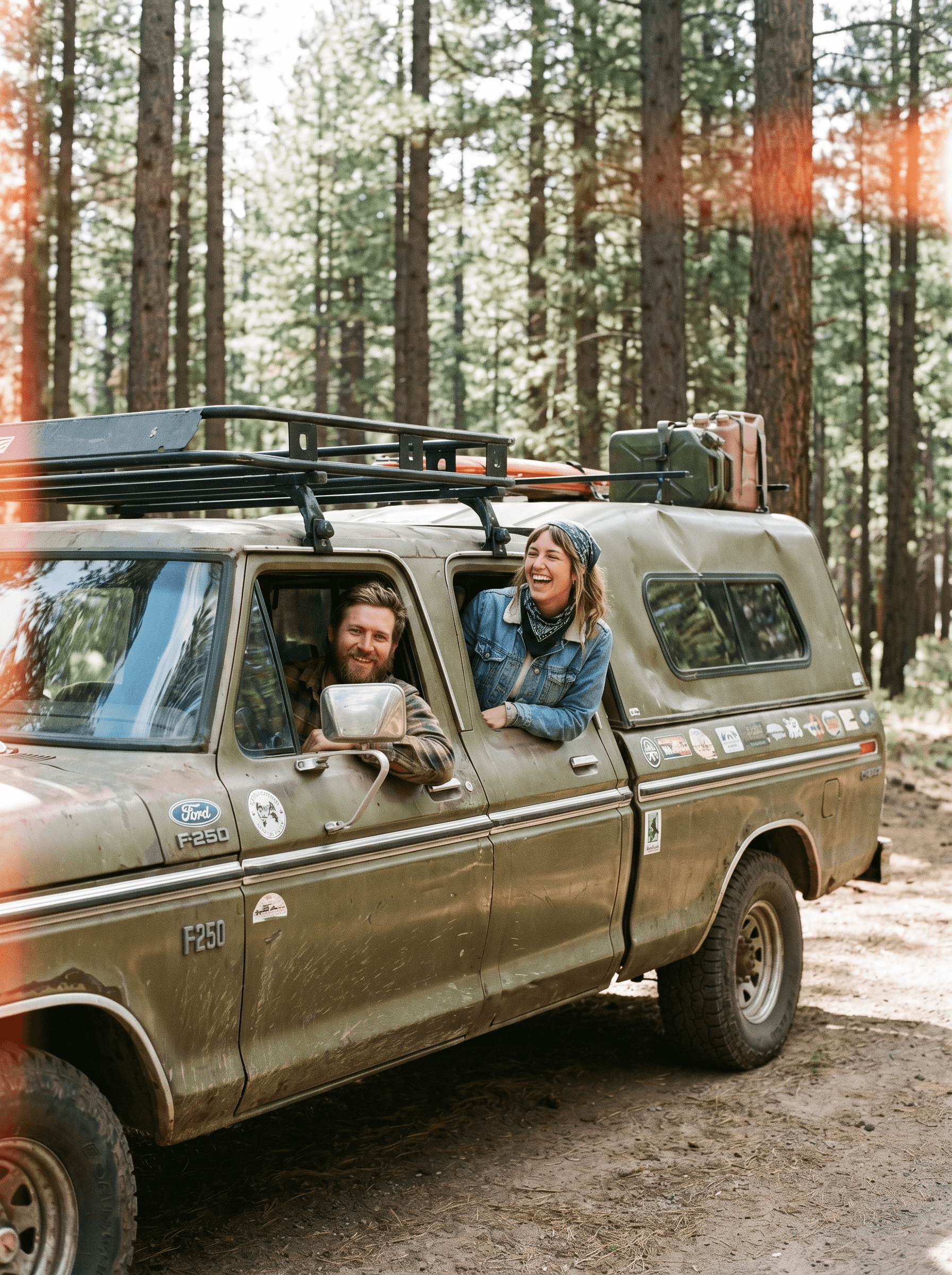
Oh, the places you'll go

Oh, the places you'll go

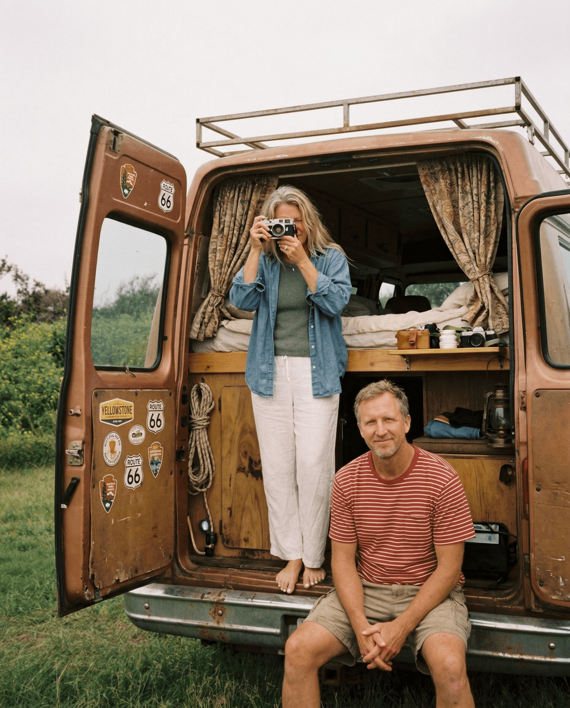
For overlanders, weekend warriors, van lifers, road trippers, RV travelers, and everyone in between. Whether you sleep out here every night or every chance you get.

We're not here to tell you where to go. We're here to make the road feel less heavy. Every feature started as a conversation. At a campfire, at a gas station, somewhere between here and there. Quiet exchanges with people living this life, turned into tools that serve it.

BUILT BY NOMADS, FOR THE ONES STILL MOVING.

— The Nomadic Team

1.6 million community waypoints and growing

WILD CAMPING

+0

Dispersed and BLM-legal sites, scored on access, road condition, cell signal, and rig fit. Not just GPS pins. Conditions reported by the last traveler who slept there.

ESTABLISHED CAMPGROUNDS

+0

National parks, state parks, county and private grounds. Reservation links where they exist. Pet rules, generator rules, fire rules, surfaced before you commit.

WATER SOURCES

+0

Potable refills, non-potable refills, dump stations. Swimmable, Algae bloom alerts when the community flags them. Maps that know the difference between hose-friendly and not.

HIKING TRAILS

+0

Distance, elevation, technicality, dog-friendly tags. Field-tested by travelers who reported back from the trailhead.

POI'S

+0

The chicken shrines, the slot canyons, the quiet pullouts, the diner that's been on the same flat-top for seventy years. The character of a place, not just the parking.

SHOWERS

+0

80%+ of teams use multiple tools for docs, tasks, and communication — slowing the work overall.

RECYCLING STATIONS

+0

Teams spend around 30% of their time on repetitive updates, handoffs, and moving work between tools.

DOG PARKS

+0

Off-leash ratings. Fenced or open. Companion-friendly trail tags. Vet clinics next to where you camp.

ENVIRONMENT HAZARD FLAGS

+0

The average mid-sized team juggles over 12 tools for tasks, docs, and communication.

For the ones who chose the road

The most complete map ever built for this kind of travel. community-driven and verified spots, public land layers, offline maps, and route tools that know your rig - tools for the road, always free for the community

GPS-verified waypoints added by real travelers
2.3 million +

2.6 million +

Waypoints to help you find what you need most on the road.

Waypoints to help you find what you need most on the road and growing every day.

2.3 million +

Waypoints to help you find what you need most on the road.

Find water, fuel, repairs, a place to sleep and more.

Find water, fuel, repairs, a place to sleep and more.

BLM land, USFS roads, dispersed camping

BLM land, USFS roads, dispersed camping

what's Inside

everything you need on the road

The tools that make this life easier, safer, and more connected, built with and for the people who live it.

The Map

public land, verified waypoints, offline. One mention, done.

Routes

plan it, live it, claim it. The journey as a permanent record.

Beacons

Something happening right now near you. Need help? Found something incredible?

Your Rig

your vehicle as identity. Build log, specs, the pride of showing it off.

Travel with Dogs

Dog-friendly trails, off-leash areas, water safety alerts. Because they're on this trip too.

The Social Layer

nearby travelers, caravans, gatherings, your crew.

The Map

public land, verified waypoints, offline. One mention, done.

Routes

plan it, live it, claim it. The journey as a permanent record.

Beacons

Something happening right now near you. Need help? Found something incredible?

Your Rig

your vehicle as identity. Build log, specs, the pride of showing it off.

Travel with Dogs

Dog-friendly trails, off-leash areas, water safety alerts. Because they're on this trip too.

The Social Layer

nearby travelers, caravans, gatherings, your crew.

The Map

public land, verified waypoints, offline. One mention, done.

Routes

plan it, live it, claim it. The journey as a permanent record.

Beacons

Something happening right now near you. Need help? Found something incredible?

Your Rig

your vehicle as identity. Build log, specs, the pride of showing it off.

Travel with Dogs

Dog-friendly trails, off-leash areas, water safety alerts. Because they're on this trip too.

The Social Layer

nearby travelers, caravans, gatherings, your crew.

Why Nomadic

more than just a map

Every waypoint added, every route claimed, every condition updated makes Nomadic more useful for the next traveler.
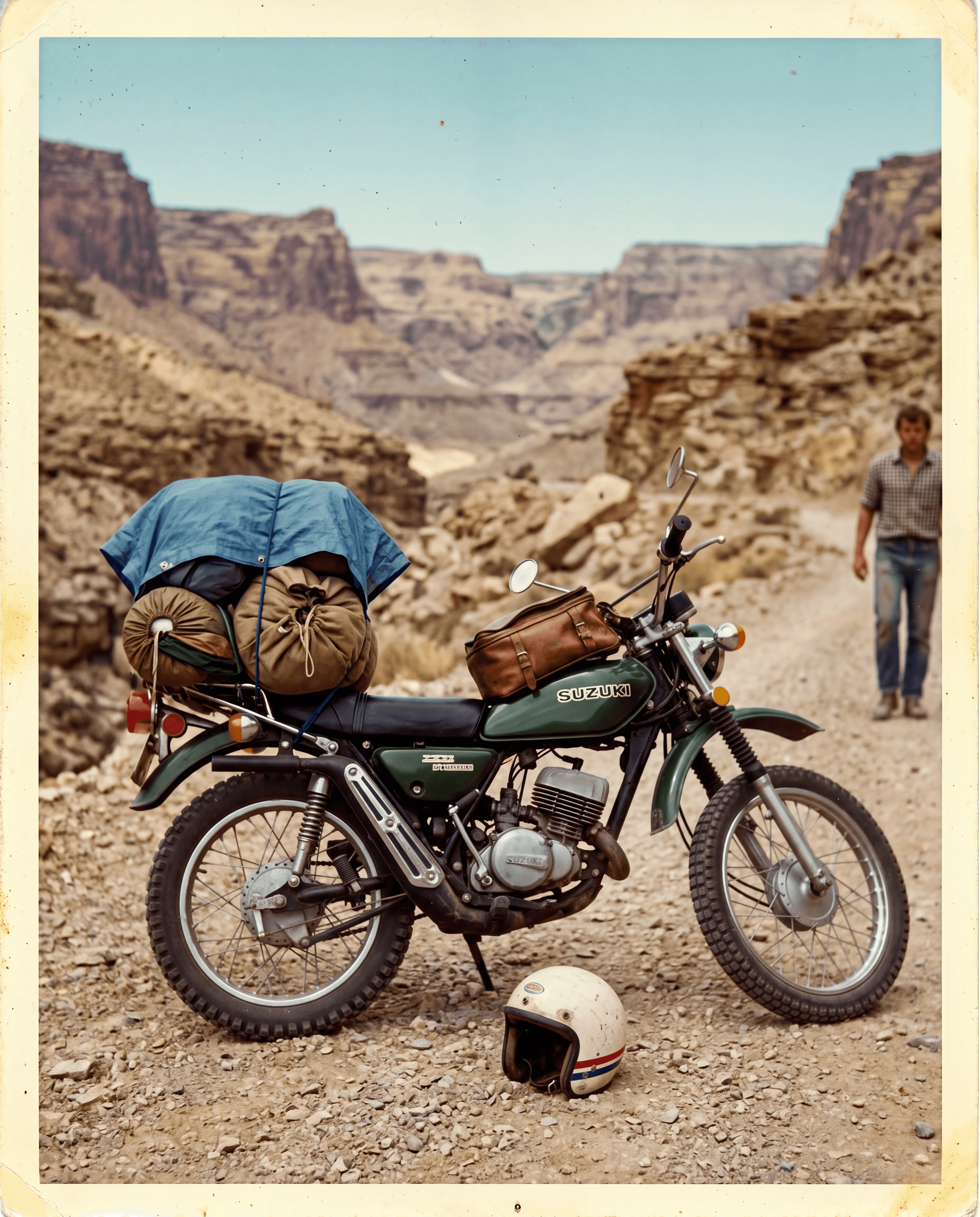
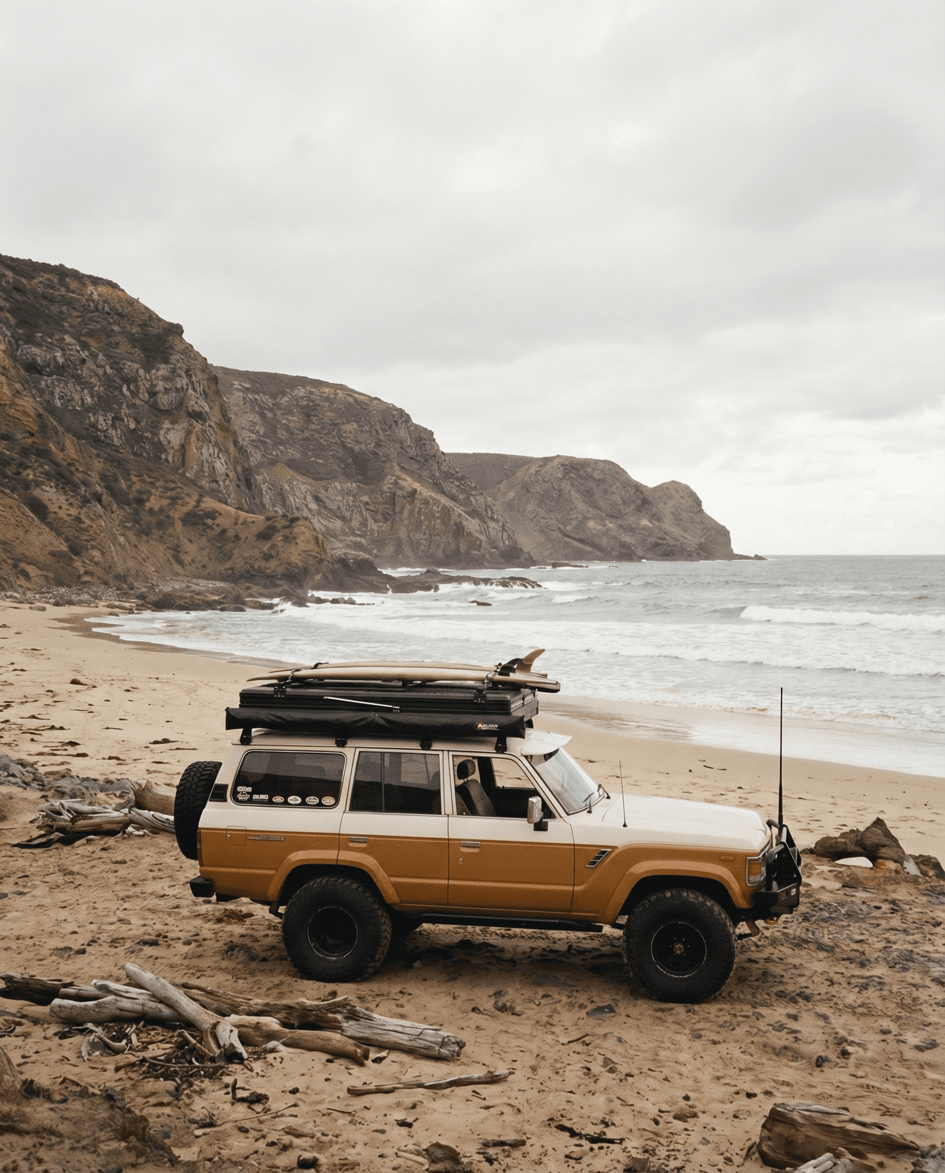
The Map

BLM land, USFS roads, dispersed camping, water, fuel, dump stations, and overnight parking. Filtered for your actual rig. Works offline. Always free. The map other apps wish they had built.

Lived Routes

Beacons

Your Rig

Community

The Map

BLM land, USFS roads, dispersed camping, water, fuel, dump stations, and overnight parking. Filtered for your actual rig. Works offline. Always free. The map other apps wish they had built.

Lived Routes

Beacons

Your Rig

Community

FAQ

the honest answers.

No marketing language. Just what you actually want to know.

Is the data actually good?

Better than anything else out there and getting better every day. Every waypoint is GPS-verified at submission. You physically have to be there to add it. Condition updates need independent verification before they go live. The community has a real interest in keeping the data accurate. Bad information in a remote area has consequences and this community knows that.

Does it work without signal?

Do I have to use the social features?

What does Nomadic do with my location?

Seriously, what about my dog?

When does this launch?

How much does it cost?

The founding community is already on the road.

Be part of building this from the ground up. Early access. Real input. A platform made for the life you are already living.

2.8 million waypoints across the USA and counting